Surveys and Assessments
Aquatic Vegetation Surveys: Our scientists provide aquatic vegetation surveys and/or eelgrass delineation surveys, including comprehensive survey reports, for intertidal and subtidal properties to meet requirements of regulatory permitting agencies.
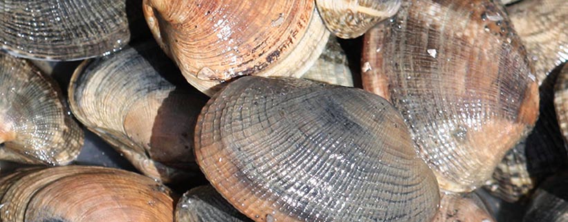
Shellfish Population Surveys: Our scientists and staff perform shellfish population surveys to assist clients in management decisions relating to treaty-rights, harvest, recruitment, and loss from mortality events. Clients receive a population summary and geospatial assessment.
Site Evaluation: Our scientists are available for individual consultations and/or pre-application meetings with regulatory agencies to assist clients in evaluating site potential for the farming of shellfish and/or seaweed species. Geospatial tools are used for additional evaluation and verification of on-site assessments.
Water Quality Assessments: PSI maintains a variety of water quality assessment equipment useful in diagnostics and management for hatcheries and upland facilities. Our equipment can be deployed for a point assessment, or for longer term monitoring of water quality trends. Our scientists provide graphical summaries of long-term monitoring, and site-specific facility management recommendations.
Net Tow/Plankton Analysis: Our scientists are trained experts in phytoplankton identification, and can identify plankton species and concentration in samples from hatcheries and farms for diagnostic purposes.
Mapping and Drone Services
Pacific Shellfish Institute staff are Remote Pilot Licensed and hold certificates in GIS and Remote Sensing. High resolution imagery of shellfish farms and surrounding habitat can be collected and classified, including classification of native eelgrass. GIS map products are included as part of survey services, including drone operations. Our scientists can also assist clients in developing internal geospatial databases for spatial data management and analysis, and can assist with special projects requiring GPS remote data collection and/or implementation of GIS mapping tools.
|


